Welcome to Hobobiker.com
¿Hablas español? Hay una versión español del sitio aquí y una traducción mala del sitio aquí.
Touring Cyclists' Report on the Cassiar Highway
- The Cassiar is a cyclist's delight, even though we had a fairly rough time with it. The traffic is light, the road is generally good, and the services are more frequent than we expected.
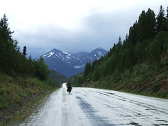
- The road is mostly paved (about 90%) and not too difficult. There are plenty of hills, but no huge passes. The 10% that is not paved can be fairly difficult (it was all mud for us, and we hate mud). But it's not really all that bad. They expect to finish all the paving in the next couple of years.
- We found groceries at several places we didn't necessarily expect them. The stores at Good Hope Lake, Dease Lake, Iskut, and Stewart all had groceries. All of those except Good Hope Lake had excellent variety. However, there was nothing at Meziadin Junction. The kind woman at Moose Meadows (north of Dease River Crossing, which is north of Dease Lake) also stocks some imperishables just for the cyclists who come through.
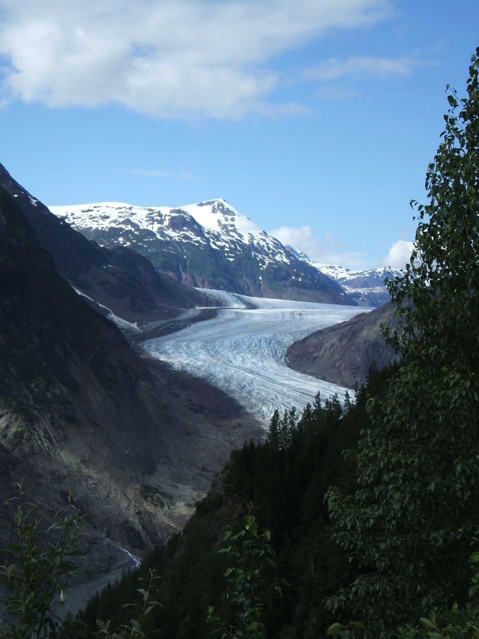
- Go to Stewart and Hyder. You'll regret passing them by, even though they're off the route. You'll want to see the glaciers and the bears at Fish Creek!
Breakdowns!
And then approaching Dease Lake in a horrible dirt-road section I broke a spoke in my rear wheel. We spent a day cleaning up and repairing and resupplying, and then spent a couple more days resting in Telegraph Creek.
Touring Cyclist Tip: Cleaning your chain on the road with diesel in a peanut butter jar
- We're using the SRAM quick-connectors on the chain, so we just took opened the chain up using those. (Nancy has a Shimano chain, and the connector works on those, too.) If you didn't have that, you'd have to break the chain the old fashioned way.
- After removing the chains, we put them in a bit of diesel in a small peanut butter jar and shook and let it sit awhile.
- Then I wiped every link carefully with a rag
- Finally, we let the chains dry just a bit, then applied some new lube.
- And the next day we put more lube on, because the diesel remaining in the chain dissolved a lot of the original lube, of course.
His Mama didn't train him right
We have had some really nice road and some excellent motorists. In fact, we'll look back on the Cassiar and Klondike and Dempster highways with fondness because the traffic was light and the riding good.
But there are a few motorists whose Mama just didn't train them right.
I'm sure *your* Mama taught you that when passing a cyclist or a pedestrian on a dirt road or in the rain that you should slow down so you don't slop all over them. And didn't your Mama teach you to give a cyclist a wide berth when passing... and if you can't pass safely right now, then slow down and wait until you can.
Most of them are great, some some can use some more training!
Watson Lake Signpost Forest
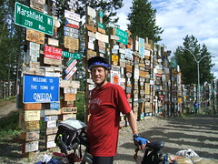
Nancy put our "hobobiker" card and sticker in a ziplock and duct-taped it to the back of a metal sign. It's not much in this incredible forest, but it's lightweight and minimalist for bike tourists :-)
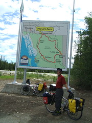
You are HERE: Watson Lake
Headed down the Cassiar Highway
We're leaving Whitehorse in the morning and will spend 5-7 days on the Alaska Highway getting to Watson Lake, where we'll resupply and then backtrack a few kilometers and head south on the Cassiar Highway. The Cassiar is a beautiful, little-travelled alternative to the Alaska Highway that runs south to near Prince Rupert. It's about 80% paved and about 500 miles long. Probably not much internet access :-) Many people report seeing lots of bears on this route (no trouble with them). And there's a famous trail at Stewart where you can watch the bears catching salmon - we might get to see that.
We'll check in with you down the road!
Nancy pedaling her way furiously to Juneau
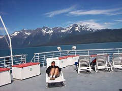
Well, there's no way to get to Juneau on a bike except to get on the ferry. Aw, shucks. It was hard, bad weather and everything.
It was a glorious day, blue skies, amazing mountains. And a welcome rest.